.png)
The Ultimate Homeschool Geography Toolkit (No Worksheets Required)

Turn "where even is that?" into "I could find that blindfolded" — one globe, puzzle, and road trip at a time.
In a Hurry? Here Are the Top 5 Tools to Start With
If you don't have time to read the whole guide, start here. These five show up again and again in homeschool recommendations because they cover the biggest bases — visual, hands-on, and playful — without overwhelming a beginner:
LeapFrog Magic Adventures Globe — the interactive, talk-back globe most families start with.
National Geographic Kids World Atlas — the reference book that gets pulled off the shelf constantly.
Melissa & Doug World Map Floor Puzzle — the toddler-friendly entry point.
National Geographic Kids Wall Map — geography by osmosis, right there on the wall.
The World Game — turns country names and capitals into something kids actually want to play.
Keep reading for how to weave all of this into a real routine, plus the full product list at the end.
Why This Matters More Than You'd Think

As a homeschool mama, geography is the one subject I refuse to let turn into a worksheet. I still remember my own geography teacher, years ago, opening the very first class of the semester by announcing — completely straight-faced — that her subject was more important than every other subject combined, math included. The whole class laughed. I laughed too. But sitting through her exacting, no-nonsense lessons that year taught me more about how the world actually fits together than almost anything else I learned in school, and it's stuck with me ever since.
That's exactly what I want for my own kids. Not a subject they tolerate, but one that quietly becomes part of how they see everything else — history, culture, current events, even math.
Geography isn't just "where is this on a map." It's rivers, resources, borders, culture, and economics all overlapping in one place, and once it clicks for a kid, it doesn't unclick.
The good news, and the reason I love teaching it at home: this is a subject that turns into play almost automatically once you have the right tools around.
Building a Geography Routine That Doesn't Feel Like School
There's no single correct order to do this in — pick whatever fits your family and adjust as you go. A structure that works well for a lot of homeschoolers:
Start local. Before Japan or Germany, start with your own state, your own region. What rivers run through it? What's the nearest ocean or mountain range? Kids notice this stuff on regular errands once you point it out.
Go country-by-country, or continent-by-continent, on a monthly rhythm. Pick a country each month (or a continent, if you want a slower pace). Look up its major cities, its rivers and lakes, whether it touches an ocean or sea, which continent it's part of, its food, and a few of its customs.
Keep circling back. When you move on to a new country, don't let the old one disappear. Compare them: how does Germany's natural resources stack up against Japan's? How is Central Asia different from Africa, and why? "Why" questions are where geography turns into real thinking instead of memorization.
Use blind maps. An outline of a country with nothing else on it — no labels, no landmarks — and have your kids fill in rivers, mountain ranges, cities, or resources from memory. It's tedious in the moment and surprisingly sticky long-term.
Let the goal be one connected map, not a stack of separate facts. The point isn't ten countries memorized in isolation — it's a mental map that everything eventually clicks into.
None of this needs to be worksheet-only. Drop a pin on Google Maps street view and "walk" somewhere neither of you has been. Watch a documentary or an episode of The Amazing Race together. Any actual travel — even a weekend day trip — becomes a geography lesson if you get your kids involved in figuring out how to get there and what's around once you land.
Toddlers and Early Learners: Start With Your Hands
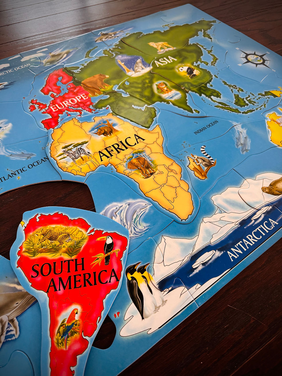
For the youngest kids, forget facts for a minute and start with shapes and pieces. A floor puzzle of the world map or a USA floor puzzle gets a toddler physically assembling what a continent or a country looks like, long before they can read a label. Some of the wooden continent puzzles even talk or make sounds, if you want that extra layer of engagement. At this stage, the "lesson" is just: does this piece belong here, or over there?
The Globe: Still the Centerpiece

A good globe earns its place on a shelf for years — ours has survived three kids and still gets pulled down weekly. The LeapFrog Magic Adventures Globe is interactive and holds up well for younger kids who want it to talk back. For something more traditional but still kid-friendly, a Replogle Kids Illuminated Globe glows at night and doubles as a nightlight. And a simple, no-frills 10–12" political world globe is honestly enough for a lot of families — sometimes the plain version gets used more because it's less "toy," more "reference."
Atlases and Books Worth Keeping on the Shelf

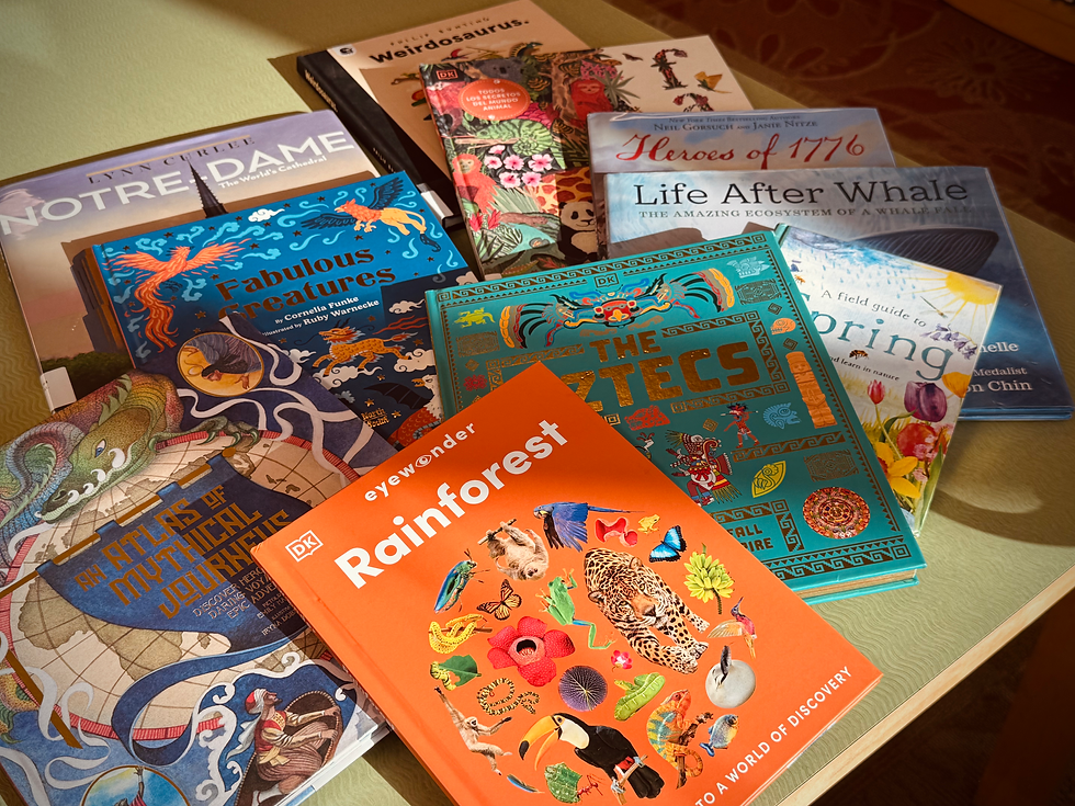
An atlas is the one tool that keeps earning its keep for years, across ages. Homeschool parents circle back to National Geographic Kids World Atlas and DK Children's Illustrated World Atlas constantly, mostly because they're visually engaging enough that kids pick them up voluntarily, not just when assigned. If you want a U.S.-focused companion, the National Geographic Kids U.S. Atlas pairs naturally with the "start local" approach above. For something a little more artistic and less textbook-like, Maps by Aleksandra Mizielińska and Daniel Mizieliński is gorgeously illustrated and works well as a browsing book rather than a reference-only one.
Wall Maps: Geography by Osmosis
This might be the single most underrated tool on the list, and it's the one I recommend to every homeschool mom who asks me where to start. A big wall map — one your kids walk past every day — does a surprising amount of the work for you without a single formal lesson. Get a laminated one so you can draw on it, mark where you've traveled, or pin up photos from a trip. A National Geographic Kids World Wall Map or a laminated political world map both work well for this; if you want a U.S.-only focus for younger learners, the National Geographic United States Wall Map or a USA map poster with capitals are good starting points.
Games That Don't Feel Like Studying

If your kids groan at flashcards but light up at "let's play a game," lean into that. The World Game and Continent Race turn country and continent recognition into actual competition. Professor Noggin's Geography of the United States and its USA Card Game counterpart are easy to pull out for ten minutes between other activities. This is one of the most repeated pieces of homeschool advice out there: kids retain capitals, flags, and countries far better through games than through repetition drills.
Hands-On Mapping Supplies
Once your kids are old enough to start drawing their own maps, a dry erase world map or dry erase USA map lets them mark rivers, mountain ranges, or resource locations over and over without wasting paper. Add washable fine-tip dry erase markers, colored push pins for a corkboard map, and a set of flag pins for marking countries you've studied or traveled to.
Hands-On Extras Worth Adding Over Time
A few smaller tools that make the routine richer without much extra effort:
World flags flash cards and U.S. states flash cards for quick review sessions.
A passport stamp book for kids to "stamp" each country as you study it — small, but it makes progress visible.
Country fact cards for younger kids who want something tactile.
STEM and Outdoor Geography
Once you're ready to connect geography to science, a rock and mineral collection ties resource-mapping to something tangible kids can hold. A National Parks scratch-off map or world scratch-off map gives visible, satisfying progress as you check off places you've studied or visited.
Putting It All Together
None of this needs to happen at once — I didn't buy any of this in one trip, and you don't need to either. A toddler starts with a floor puzzle. An early elementary kid gets a globe and a monthly "country of the month." A middle schooler graduates to blind maps and comparison questions — how does this country's resources compare to the last one you studied?
The goal isn't to buy everything on this list; it's to build a small, varied toolkit and actually use it consistently.
Geography has become one of my favorite subjects to teach precisely because the tools do so much of the work for you, if you let them. I hope your family finds the same magic in it that mine has.
Full Product List
Globes
Product | Why It's Worth It |
The interactive, talk-back globe most families start with. | |
Kids can learn diverse national anthems, populations of different countries, politics, flora and fauna, continents, waterfalls, volcanoes. | |
Combines a globe with hands-on puzzle assembly. | |
A budget-friendly interactive option for younger kids. | |
A no-frills reference globe that never goes out of date. |
Atlases & Reference Books
Product | Why It's Worth It |
The reference book kids actually pick up on their own. | |
Great companion for a "start local" approach. | |
Visually rich and consistently a homeschool favorite. | |
A gorgeously illustrated browsing book, not just reference. |
Wall Maps
Product | Why It's Worth It |
Teaches geography passively through daily exposure. | |
Durable enough to mark up and reuse. | |
Highlights terrain, rivers, and mountain ranges. | |
A simple, affordable way to drill state capitals. |
Map Puzzles
Product | Why It's Worth It |
The classic toddler-friendly entry point. | |
Soft, durable, and easy for little hands. | |
A sturdy alternative for state-by-state learning. | |
Great first introduction to continents. | |
A big, tactile way to learn world geography. |
Geography Board & Card Games
Product | Why It's Worth It |
Makes countries and capitals genuinely fun to learn. | |
A competitive way to reinforce continent knowledge. | |
Quick, easy to pull out for short sessions. | |
A U.S.-focused companion card game. | |
Card-based drilling that doesn't feel like drilling. | |
Another solid group-play option for reinforcement. |
Mapping Supplies
Product | Why It's Worth It |
Reusable for marking rivers, resources, and borders. | |
A U.S.-focused reusable mapping surface. | |
Precise enough for detailed map-marking. | |
Great for marking travels or countries studied. | |
A fun visual way to track studied countries. |
Hands-On Learning
Product | Why It's Worth It |
A cheap, playful, portable globe option. | |
Quick review tool for flag recognition. | |
Reinforces state names, shapes, and capitals. | |
Good for family game night or road trips. | |
Makes country-by-country progress visible. | |
Bite-sized facts for quick daily review. | |
A tactile option as a world atlas. |
STEM & Outdoor Geography
Product | Why It's Worth It |
Introduces real navigation skills outdoors. | |
Ties natural resources to something tangible. | |
Visible, satisfying progress tracking. | |
Same idea, applied to countries visited or studied. |


Comments